Spring flood chances unlikely
Published 12:00 am Wednesday, March 17, 2010
By ROBIN SHANNON
L’Observateur
LAPLACE – Although Mississippi River water levels have shown steady decline since the beginning of March, the National Weather Service’s Lower Mississippi River Forecast Center is still anticipating an above average flood potential this spring.
Forecast Center Hydrologist Angelo Dalessandro said the forecast is based on existing and normal spring rainfall in the Mississippi River Valley, along with snow melt in the upper Midwest and parts of the northeast.
“Right now we are not seeing anything out of the ordinary for this time of year,” Dalessandro said. “In fact, much of the snow in the Ohio River Valley has already begun to clear out.”
One of the bigger contributors to water levels in the lower Mississippi River is the Ohio River basin, where a large chunk of snow has already melted away, Dalessandro said.
“There’s still a lot of snow pack in northwest Iowa and the Dakotas, so we will have to see how that melts away,” Dalessandro said. “Much of it falls into northern rivers, but we do get some of that runoff into the Mississippi.”
Spring flood forecasts for the lower Mississippi River also factor in that the river and many surrounding streams have had above normal water levels this winter and that surrounding soil is already saturated.
“That just means you’ll get more run off with a torrential rain event,” Dalessandro said. “If the soil is already saturated, rainfall has no place else to go other than the rivers. It could send levels higher in the coming weeks, but it’s hard to tell what Mother Nature is going to do.”
The lower Mississippi River is contained by man-made levees, which means that an above average flooding event would generally not overtop those levees, Dalessandro said.
“It would have more of an impact on barge traffic going up and down river,” he said. “There are several feet of levee protection above flood stage along that portion of the river.”
Dalessandro used Baton Rouge as an example, where the flood stage is 35 feet, but the levees protect the city up to 47 feet. The river stage Monday morning was 24.7 feet, and the forecast calls for a continued drop over the next five to seven days.
In the New Orleans area the gauge at Carrollton, where the flood stage is 17 feet, registered at 7.98 feet Monday afternoon — more than a quarter of a foot below measurements from the previous day.
“New Orleans, and the areas up stream into Gramercy, had been dealing with abnormally high water levels since late fall,” Dalessandro said. “It is starting to show some return to normal. We don’t see it getting any higher than 8 or 9 feet.”
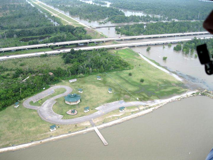
Mike Stack, chief of emergency management with the New Orleans District of the U.S. Army Corps of Engineers, said the corps does not go into the first phase of “flood fight” until the New Orleans gauge hits 11 feet. He said the corps does not anticipate any movement toward “flood fight” initiatives, which include the opening of the Bonnet Carre Spillway in St. Charles Parish.
The most recent opening of the spillway was in 2008, when 46 of the spillway’s 350 gates were opened to ease river levels that had swelled to near 17 feet.


